打印
打印
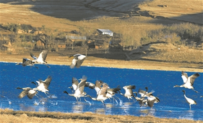
湿地资源遥感变化监测方法
编号
lyqk002263


中文标题
湿地资源遥感变化监测方法
期刊名称
世界林业研究
年份
2007
卷号
20
期号
2
栏目编号
1
栏目名称
专题论述
中文摘要
湿地资源变化是当今资源与环境变化研究的一个热点.及时、准确地获得湿地变化信息是对湿地资源保护、利用和可持续发展的有力支持,而遥感技术的快速、周期性等特点为湿地资源变化监测提供了技术手段.遥感数据的快速获取与相对数据分析技术的滞后,使得变化监测研究中新技术和新方法不断涌现.
基金项目
湿地资源监测与可持续利用评价技术研究(2004DIB3J105)
英文标题
Wetlands Resource Change Monitoring by Remote Sensing Technology
作者英文名
Zhou Weicai and Chen Yongfu
英文摘要
The wetland resources change research is the hot point in the resources and an environmental change research.The unique ecosystem and the important ecological,social,economical function of wetland also are more and more realized by the people.Promptly and accurately obtaining the wetland change information is the key to the protection,use and the sustainable development of wetland resources.The remote sensing technology with the characters of rapidity and periodicity provided the technical method for the wetland resources change monitoring.The fast gain of remote sensing data and the lag of data analysis technology,caused the constant emerging of new techniques and methods in the change monitoring research.
英文关键词
wetland resources;change monitoring;remote sensing
起始页码
45
截止页码
49
投稿时间
2006/9/20
分类号
P941.78X87
参考文献
[1] 陈宜瑜主编.中国湿地研究[M].长春:吉林科学技术出版社,1995.
[2] 湿地国际中国项目办事处.湿地与水禽保护[M].北京:中国林业出版社,1998.
[3] 赵魁义.加拿大国际湿地会议与湿地研究[J].地理科学,1988,8(3):293-294.
[4] Improved wetland detection in Yellowstone National Park by combination of Landsat Thematic Mapper Imagery,Image Texture,and Ancillary GIS Information.[G] //National Wetland Inventory.Washington,DC:U.S.Fish and Wildife Service,Office of Biological Services,December 1979.
[5] Singh A.Digital change detection technique using remotely-sensed data[J].Int J Remote Sensing,1989,10(6):989-1003.
[6] Jensen J R,Cowen D J,Narumalani S,et al.An evaluation of coast watch change detection protocol in South Carolina[J].Photogram Metric Engineering and Remote Sensing,1993,59(6):1039-1046.
[7] 王洪元,等.人工神经网络技术及其应用[M].北京:中国石化出版社,2002.
[8] 韩玲.基于人工神经网络--多层感知器 (MLP) 的遥感影像分类模型[J].测绘通报,2004,(9):29-30,42.
[9] 骆剑承,周成虎,杨艳.基于径向基函数(RBF)映射理论的遥感影像分类模型研究.中国图形图像学报,2000,(l/2).
[10] 蔡熠东,李伟,许伟杰.遥感土地覆盖类型识别的自组织人工神经网络模型.国土资源遥感,1994,(4):63-66.
[11] 黄文晶,李满春,赵书河,等.基于一维Kohonen网络的遥感影像分类方法研究.遥感信息,2005,(5):6-8.
[12] 王玲,龚健雅.一种基于自适应谐振理论的TM遥感影像神经网络分类器[J].测绘科学,2003,28(3):39-42.
[13] 骆剑承,周成虎,杨艳.人工神经网络遥感影像分类模型及其与知识集成方法研究[J].遥感学报,2001,5(2):122-129.
[14] 沙志刚.数字遥感技术在土地利用动态监测中的应用概述[J].国土资源遥感,1999,(2).
[15] R A Weismiller.Change detection in Coastal Zone Environments[J].PE&RS,1977,(43):1533-1539.
[16] Hame T.Satellite image aided change detection[R] //Remote Sensing Aided Forest Inventory.Helsinki,Finland:Research Notes No.19,Department of Forest Menstruation and Management,University of Helsinki,1986:47-60.
[17] Fung Tung.An assessment of TM imagery for land-cover change detection[J].IEEE Transactions on Geoscience and Remote Sensing,1990,28(4):681-684.
[18] Lambin E,Strahler A.Change-vector analysis in multi-temporal space:A tool to detect and categorize land-cover change process using high temporal-resolution satellite data[J].Remote Sensing of Environment,1994,48:231-244.
[19] Wickware G,Howarth P.Procedures for change detection using Landsat[J].Int J Remote Sensing,1981,(2):277-291.
[20] S Baronti,R Carla,S Sigismondi,et al.Principal component analysis for change detection on polarimetric multitemporal SAR Data[C] // Geoscience and Remote Sensing Symposium,IGARSS,1994(vol.4):2152-2154.
[21] B Qiu,V Prinet,E Perrier,et al.Multi-block PCA method for image change detection[C] // 12th International Conference on Image Analysis and Processing,2003:385-390.
[22] R J Kauth,G S Thomas.The tasseled cap:A graphic description of the spectral-temporal development of agricultural crops as seen by Landsat[C] //Proceedings of Remotely Sensed Data,Purdue University,West Lafayette,Indiana PP.4B41-4B51,1976.
[23] James H Horne.A tasseled cap transformation for IKONOS images[C] //Proceedings of ASPRS 2003 Conference,Anchorage,Alaska,May 5-9,2003.
[24] Nicoloyanni E.A diachronic change index applied to Landsat MSS images of Athens,Greece[J].Int J Remote Sensing,1990,(11):1617-1623.
[25] 丁建丽,等.基于NDVI的绿洲植被生态景观格局变化研究[J].地理学与国土研究,2001,18(1):23-26.
[26] 李全,李霖,赵曦.基于Landsat TM影像的城市变化检测研究[J].武汉大学学报(信息科学版),2005,30(4):351-353.
[27] Gong P.Change detection using principle component analysis and fuzzy set theory[J].Canadian Journal of Remote Sensing,1993,19(1):9-22.
[28] Johnson R D,Kasischeke E S.Change vector analysis:A technique for the multi-spectral monitoring of land cover and condition[J].International Journal of Remote Sensing,1998,19(3):411-426.
[29] 陈晋,何春阳,史培军,等.基于变化向量分析的土地利用/覆盖变化动态监测(Ⅰ)--变化阈值的确定方法[J].遥感学报,2001,5(4):259-266.
[30] 陈晋,何春阳,卓莉.基于变化向量分析(CVA)的土地利用/覆盖变化动态监测(Ⅱ)--变化阈值的确定方法[J].遥感学报,2001,5(5):346-352.
[31] 姜涛,马国锐,秦前清.基于遥感影像的变化检测技术[J].计算机应用研究,2005,(2):255-257.
PDF全文
浏览全文
-
相关记录
更多
- 基于北斗林业综合应用服务平台的多源卫星遥感监测系统 2022
- 林地变化监测技术现状及发展趋势 2022
- 基于碳卫星的森林碳储量估测研究综述 2022
- 高分辨率遥感影像城市违法建设执法监测方法——以拉萨市城关区绿地侵占变化监测为例 2022
- 西昌市泸山景区森林火灾后植被恢复现状 2022
- 城市绿地碳汇测算方法研究进展 2024
相关图谱
相关动态

相关信息